Advancing Maine’s Forest Economy
Using its expertise in environmental studies and AI capabilities, Colby will help create an online map so landowners can better understand their forest resources
Look at a satellite map of Maine, and you will see seemingly endless shades of green. Forests stipple the state from the coast to the mountains, ranging from vast tracts of logging land to dwindling fragments of old growth and just about every combination of diverse species and age in between.
As the most heavily forested U.S. state by percentage of land area, Maine has a unique and, in some ways, daunting responsibility to understand, manage, and protect its forests for industry and conservation alike.
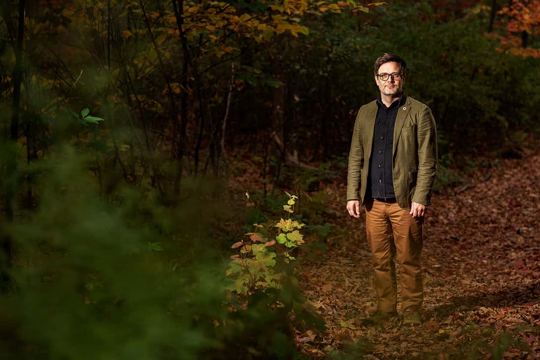
With this in mind, Justin Becknell, associate professor of environmental studies and chair of Colby’s Environmental Studies Department, has joined a statewide initiative that aims to use science and collaboration to advance the Maine forest economy.
“We wanted to build a project that would bring Indigenous and non-Indigenous researchers and community members together in conversation around ways to stimulate data sharing for forest managers, conservationists, foresters, and the logging industry, small scale and large,” said Becknell.
Supported by an NSF grant
The project, with $7 million in grant funding from the National Science Foundation’s Established Program to Stimulate Competitive Research (EPSCoR), is spearheaded by Aaron Weiskittel, professor of forest biometrics and modeling and Irving Chair of Forest Ecosystem Management at the University of Maine.
It supports a variety of goals across numerous communities and educational institutions, including resilience-building in rural and tribal forest economies, the creation of new educational programs and workshops, the funding of several NGOs working in the forest sector, and research on cellulosic nanofibers—tiny, strong, and promising renewable materials derived from wood pulp.
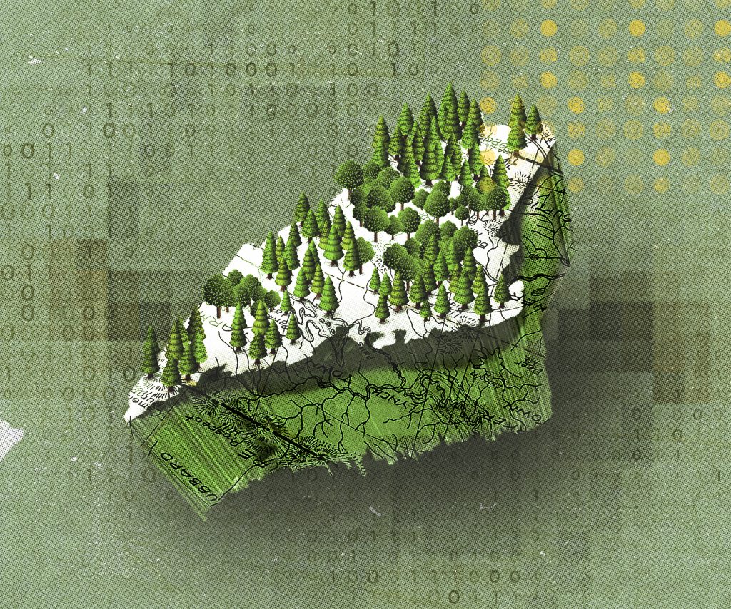
Colby’s role in the project, enabled by $1 million of grant funding, will focus on using artificial intelligence to process massive quantities of forest data and make it available—and easily understandable—to forest landowners. Becknell’s hope is that this data will ultimately be displayed in an online map that landowners can use to locate, learn about, and make informed decisions regarding the use of the forests on their property.
“Let’s say you own 100 acres of forest,” said Becknell. “You could click on your parcel on the map, and this website would spit out a bunch of data, like an estimate of habitat quality, carbon stocks, tree species diversity, estimated age, and board feet,” a measurement that translates to lumber volume.
Maybe a landowner uses board feet to evaluate what they might earn from hiring a logging company to log their property. Alternatively, maybe they discover that their property is home to rare or uncommonly diverse tree species, and this encourages them to pursue options to preserve their land.
Having all this information available quickly and easily will accelerate the conservation process, Becknell hopes, making it simpler for individuals and land trusts alike to find and protect ecologically significant sites. This is especially important in Maine, because most of the state’s forests are privately owned and managed.
Colby’s role in the project
To build a system that can provide statewide insights requires statewide datasets, of which there are a handful. These datasets have been collected using either aerial photography or LIDAR—the latter of which describes the creation of 3D images of forests using laser scanners. However, these datasets do not provide information in a format that most landowners can easily understand.
That’s where Becknell comes in. By collecting highly detailed data in the field from multiple forest sites across the state, his team will begin training the AI system. Feed AI detailed data, and it will “learn” to make more accurate inferences about forest tracts statewide. These inferences are what will ultimately become available to the public.
This past summer, two Colby students, Annie Thomas ’26 and Tin Nguyen ’28, joined Becknell and project collaborator Daniel Hayes, associate professor of remote sensing and geospatial analysis at the University of Maine and director of the Wheatland Geospatial Laboratory, to collect data from established research sites belonging to UMaine, in Colby’s Perkins Arboretum, on Allen Island, and across a variety of conservation areas throughout the state.

“We’re looking for different kinds of forests to create a representative sample,” Becknell said. “We’re surveying younger forests, older forests, forests on the coast, forests inland, forests up north—we’re trying to do it all, but we’re also not starting from scratch.”
Using a combination of analog forest inventory methods and ground-based LIDAR scanning, Thomas, Nguyen, Hayes, and Becknell have added millions of data points to existing forest datasets that together will make up the AI system’s learning diet.
‘Huge opportunities’ for students
The project, which began in fall 2024 and will run for five years, will likely remain in the data collection and development phase for two or three years before transitioning to information processing and interface building for the remaining years. Then, once the infrastructure of the tool is in place, it will be easy to update the data to reflect changes in the state’s forests over time.
Colby is a key player in the project now, but it did not start out that way. Early in the project’s development, conversations arose around incorporating AI to extend its collaborative nature to computer scientists and engineers, according to Becknell.
He approached Amanda Stent, then the director of Colby’s Davis Institute for Artificial Intelligence, who enthusiastically supported the collaboration. The Davis Institute for Artificial Intelligence helped shape a central role for Colby as the project developed and took on its final form.
Isaac Lage, assistant professor of computer science at Colby, will also collaborate on this project. His work will focus on the design and evaluation of the user interface and the efficacy of the data products for members of the public.
For Colby students who may or may not be expressly interested in forests, options are plentiful to branch out and get involved, too. Colby will run multiple Jan Plan courses on AI, as well as a summer AI Institute. The project will also fund five student researchers working in both Becknell’s and Lage’s labs. These students will collect new data in the field and process and organize that data back in the lab.
“There are a huge number of opportunities,” said Becknell.


