How Rivers Change Over Time
Earth scientist Evan Dethier will use a NASA grant to study how rivers respond to dramatic disturbances
Evan Dethier was teaching at a small school in central Vermont when Hurricane Irene made its final landfall in August 2011. The extratropical cyclone ripped through the region, wreaking havoc on the landscape, battering local communities, and flooding rivers well beyond their brims.
In the aftermath of the storm, Dethier found himself both concerned and fascinated. “Seeing the impact of Irene motivated me,” he said. “I wanted to study what might perturb a river, like a flood or a drought, or putting in a dam, or taking a dam out, and I wanted to think about how the river would respond.”
Now assistant professor of earth sciences at Colby, Dethier has embarked on a new project that will allow him to do just that. With more than $550,000 in grant funding from NASA’s Research Opportunities in Space and Earth Sciences (ROSES) Program, Dethier will use a combination of satellite imagery and computer modeling to study how rivers change over space and time, particularly in response to environmental and anthropogenic disturbances.
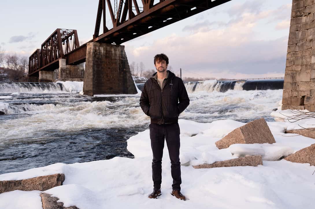
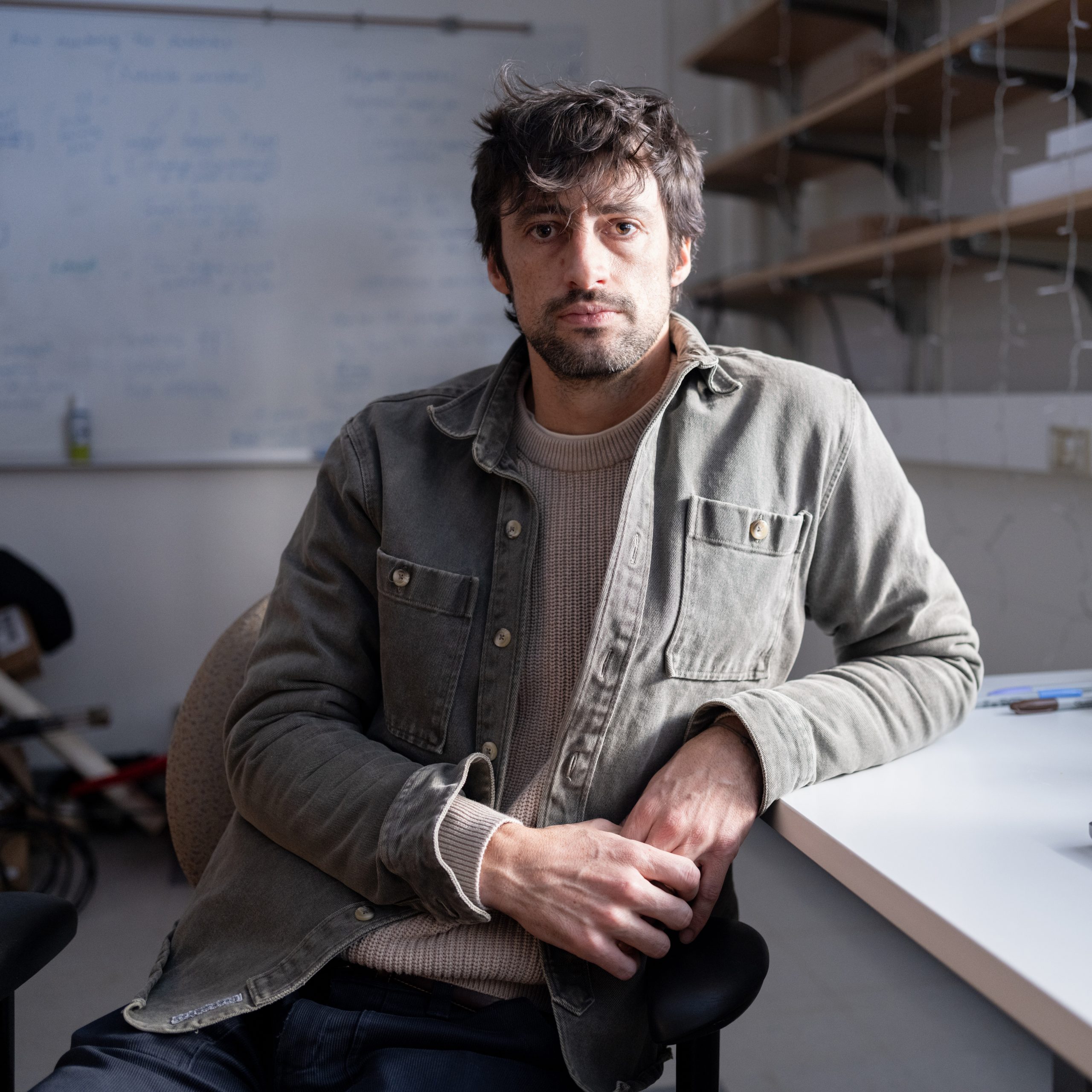
Dethier is establishing himself as an expert in his field. He has spent the past 15 years traveling the world studying river dynamics and has published frequently about the subject, including most recently in the journal Science. With his new NASA-funded work, he and several Colby students will focus some of their research on Maine rivers, including the Kennebec, where several dams may be removed in the coming years.
“Rivers are like the arteries of the world,” Dethier said. “They integrate whatever’s happening upstream, so studying them provides a great way of diagnosing broader issues within a watershed.”
Satellite imagery, then, is like a routine MRI.
Satellites take pictures of the Earth from above, anywhere from every two weeks to once a day. Captured in these photographs are rivers, all around the world and at varying points in their long and winding lives. Such an immense catalog of aerial images provides an incredible baseline for studying environmental changes.
“The great thing about satellites is that they’re like a time machine,” Dethier described. “Not a time machine that goes as far back as some geologists are able to go, but they allow us to step into the past and look at how things have evolved from the 1980s all the way up to the present.”
The missing piece
When it comes to quantifying these evolutions, however, a piece of the puzzle is still missing. Researchers can look at satellite pictures and see changes—perhaps a river went from clear to cloudy around the same time logging began in the area—but the images alone won’t reveal which indicators of water quality have changed, or by how much.
That’s where Dethier’s project comes in. Using thousands of water-quality data points gathered in the field, as well as from archival datasets, Dethier will train a computer model to accurately derive quantitative measurements of key parameters that affect river health, such as sediment, carbon, and dissolved metals, from satellite photos.
“The material a river moves is relevant to the way the river operates, and as a result, it’s relevant to all of us,” Dethier said. “If that material is changing in a way that’s measurable or detectable, knowing the magnitude is essential for mitigation, especially if the change is due to human activity.”
Research began with gold mining
In 2019, Dethier began researching the effects of alluvial gold mining, which occurs along riverbanks or, in some cases, directly in riverbeds. His studies on the subject, which started in Peru, found that alluvial mining releases sediments that alter a river’s shape, shift its composition, and degrade its quality.
Following publication about this work, Dethier wanted to explore how major rivers in other parts of the world changed over the same timeframe. He discovered that in the northern hemisphere, sediment transport was decreasing because of a growing number of dams that trapped those sediments and prevented them from causing problems downstream. Rivers in the southern hemisphere, on the other hand, were carrying more sediments over time.
“When we looked into those southern systems, we realized the mining issue we’d initially studied in Peru turned out to be a pervasive challenge all across the tropics,” he said. He and his coauthors published their findings in Nature. “This was the first global documentation of alluvial mining being the environmental hazard that it really is.”
The scope of Dethier’s research is still expanding. “One of the things that we’ve been working on is looking at Arctic rivers and how they’ve changed over the past few decades, mostly in response to the climate becoming warmer,” he noted. In April, a paper he coauthored on the topic was published in Nature Communications Earth and Environment.
Citizen science sampling kit
The new NASA-funded project will broaden and refine the reach of Dethier’s work even further.
As part of his current project, he and his team are in the process of optimizing a citizen science sampling kit that will allow anyone to collect data from rivers, anywhere in the world. Audrey Lemoine ’25 tested the kit in the Yukon in collaboration with Bess Koffman, associate professor of earth sciences. A former student, Caleb McDaniels from Bowdoin College, where Dethier taught before coming to Colby, used it in Greenland. This year, a citizen science group of high school students has plans to bring kits on a canoe trip to northern Canada. “The idea is to increase the breadth of the training data by having people take measurements where it’s usually hard to go,” Dethier explained.
Another key element of the project involves enhancing researchers’ ability to investigate disturbances in smaller rivers. Older satellite imagery, called Landsat, can only capture change in rivers 60 meters across or wider (for scale, that’s roughly the distance between Dana and Mary Low halls). Newer satellites take more frequent images at higher resolutions, so it is now possible to study rivers as small as 15 meters across using a computer modeling approach.
This means that scientists will now be able to assess disturbances and inform mitigation in more places than ever before—an essential development, given how important rivers are to both human societies and natural ecosystems.
“We live along rivers,” Dethier said. “We recreate on them. We drink their water; we eat what lives in them. A river might have hot spots of biological activity, or it can be a place where contaminants are stored in time. Understanding whether they are changing is quite important for mediating those different uses.”
Close to home
Three rivers close to home also run through Dethier’s current work. The Sandy River, popular among paddlers, is considered the last great hope for critically endangered Atlantic salmon in Maine. Studying trends in the Sandy’s temperature as well as sedimentation will help conservationists understand the river’s viability as salmon spawning habitat.
The Kennebec River, which flows south out of Moosehead Lake through downtown Waterville and empties into the sea at Popham Beach in Phippsburg, is part of Dethier’s research, too. Several long-standing dams are slated for removal along the Kennebec, and Dethier wants to measure conditions beforehand so he can better evaluate changes after the dams are taken out.
Perkins Stream, which runs through the eponymous arboretum on Colby’s campus, acts as a perfect natural laboratory for Dethier and his students. Its small size means it fills swiftly in the rain, and its structure varies greatly along its length, making it ideal for studying change.
It also illustrates a sliver of Maine’s geologic history. “The stream starts right on the old shoreline from when sea levels were really high at the end of the last glacial period, about 12,000 years ago,” Dethier explained. “The Atlantic Ocean used to lap on the shores of Mayflower Hill, and the stream runs off that old beach. That legacy dictates the landscape that we have at Colby and across Maine.” Students can work on Perkins Stream in classes, independent studies, or even as part of their capstones.
Students can also participate in Dethier’s project, which began in 2024 and will run through 2027. “My hope is that we will develop a river-focused team to work across the different elements of the project,” he said. “For the foreseeable future, there’s quite a lot of undergraduate support in the grant to fund independent research and research assistance.”
Inspired by his own education as an undergraduate at Williams College, Dethier arrived on Mayflower Hill excited to provide students with a tight-knit, collaborative liberal arts experience. “The mix of research and teaching at Colby is the reason that I was drawn to the school,” he said. “Working with students who are engaged, and motivated, and tackle important questions … it’s been a dream.”


